Spatial Visualizer — 3D mapping data
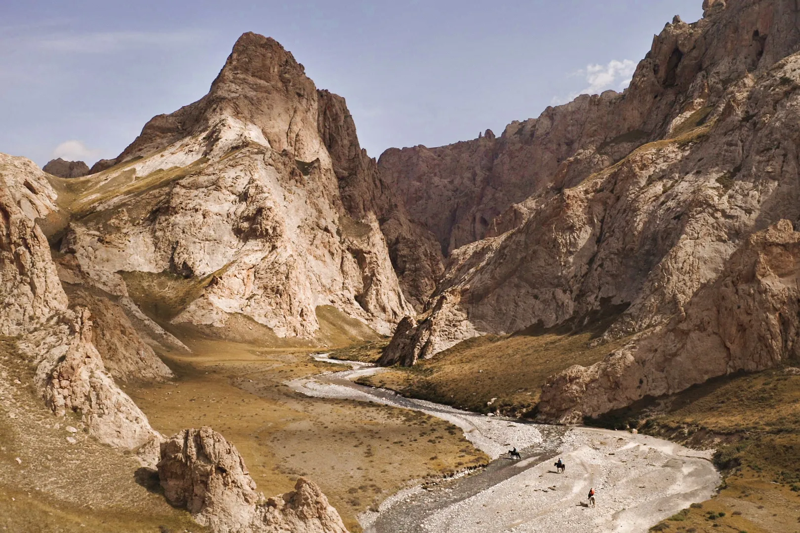
This project is the direct result of the Uncharted Caves of Kyrgyzstan expedition. To map and preserve one of Earth's most remote mountain ranges, a multidisciplinary team of scientists and storytellers utilized extensive drone flights and photogrammetry to capture the rugged Tian Shan mountains in high resolution. During the expedition, these 3D models allowed the team to scout complex terrain in real-time and discover previously unrecorded cave systems. The data you are about to explore serves as a vital tool for scientific analysis, immersive storytelling, and ongoing conservation efforts in the pristine Kok-Kiya region.
Explore the data